
Chesterfield Parkway and central core
Condominiums, villas, townhomes, apartments, established subdivisions, offices, and newer mixed-use development.
Daily-life advantage: Short access to city facilities, entertainment, healthcare, and I-64.
Large West County neighborhoods, employment centers, valley retail, and rural-edge properties connected by I-64 and Route 141.
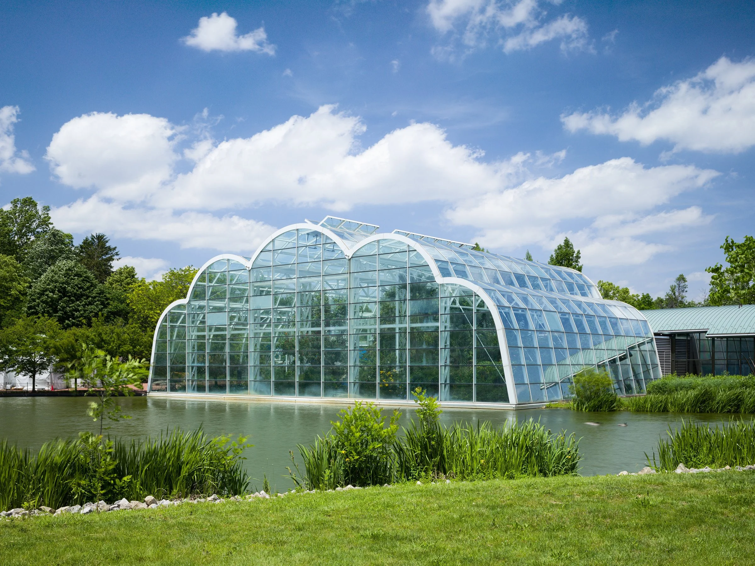
The Butterfly House at Faust Park

Chesterfield covers enough ground that a single city label hides several distinct markets. Around Clarkson and Baxter, established subdivisions and custom homes sit near schools, medical offices, and I-64. Chesterfield Parkway mixes civic, office, condominium, and entertainment uses. The valley adds major retail, sports, newer development, Spirit of St. Louis Airport, and a documented floodplain and levee context. Farther west, Wild Horse Creek and rural-edge parcels introduce larger lots, private roads, wells or septic in some locations, and longer maintenance lists. Buyers should verify school boundaries, municipal requirements, HOA and special-district obligations, flood and levee status, utilities, drainage, and approved nearby development for the exact parcel.
A large west-county city combining suburban neighborhoods, major employment, retail, valley development, and rural western edges. Large subdivisions, luxury homes, townhomes, condos, newer valley development, and acreage toward the west.
Primary regional access is through I-64/US 40, Route 141, Clarkson Road, and Chesterfield Airport Road. Downtown St. Louis is roughly 25–40 minutes; peak traffic and the first miles on local roads can change the practical trip.
Floodplain history and valley development are important context HOAs, special districts, commute routes, and future development differ across the city
Condominiums, villas, townhomes, apartments, established subdivisions, offices, and newer mixed-use development.
Daily-life advantage: Short access to city facilities, entertainment, healthcare, and I-64.
Established ranches, two-stories, custom homes, mature lots, pools, and HOA-governed subdivisions.
Daily-life advantage: Everyday retail and I-64 access with address-specific schools and traffic routes.
Custom homes, larger lots, newer subdivisions, rural-transition property, and some private-system parcels.
Daily-life advantage: More space and varied property types, paired with additional road, utility, drainage, and development questions.
A city park with trails, public art, a lake, playgrounds, aquatics nearby, and access to the amphitheater and civic campus.
A Missouri Botanical Garden attraction featuring a tropical conservatory, native garden, exhibits, and scheduled programs.
An entertainment district with music, dining, sports, and changing tenants and events. Check current schedules before visiting.
School attendance, emergency-response district, utility territory, and jurisdiction may vary within a mailing area. Confirm the organizations serving a specific property by address.
Chesterfield Valley has a documented flood history and engineered levee system; parcel elevation and mapping still matter.
What to do: Review FEMA maps, elevation, drainage, lender and insurer requirements, and levee-district information for the property.
Parkway and Rockwood serve different Chesterfield addresses and attendance zones can change.
What to do: Verify current assignment and transportation directly using the exact address.
Subdivisions and newer development may carry covenants, assessments, special taxes, architectural controls, or maintenance obligations.
What to do: Review recorded documents, budgets, reserves, tax bills, violations, and pending projects before closing.
Permit, occupancy, zoning, and inspection requirements depend on the property and intended use.
What to do: Confirm current city requirements, permits, approvals, and outstanding items early in due diligence.
Not necessarily. Postal names can extend beyond city limits, so city and county responsibilities may differ by parcel.
Use roughly 25–40 minutes as a general orientation. The exact starting point, destination, traffic, and local-road portion determine the actual trip.
Parkway; Rockwood. Attendance boundaries can split a mailing area, so the property address controls the assignment.
Large subdivisions, luxury homes, townhomes, condos, newer valley development, and acreage toward the west.
Floodplain history and valley development are important context HOAs, special districts, commute routes, and future development differ across the city
Start with the question you have today. No pressure and no generic sales pitch.