Community Guide · Jefferson County

De Soto, Missouri

Historic Union Pacific railroad heritage, classic small-town character, and deep acreage living anchor southern Jefferson County.

Kyle Weiss
Kyle’s Local Take

De Soto feels distinctly removed from the suburban intensity of northern Jefferson County, operating with its own strong civic pulse and deep railroad heritage centered on the Union Pacific operations. Housing in town gives buyers outstanding square footage for the money, from historic turn-of-the-century craftsman bungalows and Victorians around Main Street to post-war ranches perched on the surrounding hills. Once you venture outside city limits, De Soto turns into sprawling wooded acreage, hunting properties, and hobby farms extending toward St. Francois and Washington counties. If you work locally, remotely, or don't mind a 45-minute commute up Highway 21, the value proposition is incredible. However, buyers must be vigilant: in-town purchases require municipal occupancy permits, older homes require cast-iron and lateral scopes, and properties near Joachim Creek demand strict flood elevation checks.

De Soto at a glance

A practical orientation before comparing properties

COMMUNITY TYPEIncorporated city · municipal government and police
2025 POPULATION ESTIMATE6,378
MEDIAN HOUSEHOLD INCOME$54,820
MEDIAN OWNER-OCCUPIED VALUE$158,200
LAND AREA4.29 square miles
GENERAL TRAVEL TO DOWNTOWN ST. LOUIS45–55 minutes via Highway 21 or Route 110 and I-55
Community character, housing, and commute

What daily life and property ownership look like here

An incorporated small city in southern Jefferson County with railroad roots and a broad rural mailing area. Older in-town homes, conventional streets, larger lots, rural homes, acreage, wells, septic, and outbuildings.

Primary regional access is through US 67, Route 21 connections, and local highways. Downtown St. Louis is roughly 50–60 minutes; peak traffic and the first miles on local roads can change the practical trip.

The incorporated city and postal area are not the same Regional travel is car-dependent and private-property systems are common outside town


Neighborhood pockets

De Soto changes noticeably from one corridor to another

Main Street · Boyd Street · Pratt Street · De Soto Public Library area

Historic downtown and Main Street grid

A walkable small-town grid with turn-of-the-century frame and brick homes, bungalows, covered porches, older commercial buildings, and established civic destinations.

Daily-life advantage: Historic character and short trips to downtown businesses, public services, community events, and the library.

Amvets Drive · Miller Street · Rock Road · De Soto High School corridor

North Hills and school-campus area

Mid-century ranches, split-levels, conventional single-family homes, and elevated residential streets near district campuses and sports facilities.

Daily-life advantage: Close access to schools, youth activities, and the northern connection to Route 21.

Route 110 corridor · Old Highway 21 south · Fountain Farm Road · Mammoth Road area

Unincorporated acreage and timber fringe

Multi-acre parcels, wooded valleys, custom houses, manufactured and modular homes, hobby farms, hunting tracts, and properties with detached shops or livestock improvements.

Daily-life advantage: Privacy and flexible property types, paired with address-specific well, septic, road, survey, restriction, zoning, and emergency-service questions.

Things to do and everyday life

Local places around De Soto

Accessible playground at Walther Park in De Soto
East River Road, De Soto

Walther Park

De Soto’s largest park covers 18 acres beside Joachim Creek, with playgrounds, courts, ball fields, soccer, fishing, a gazebo, and a walking loop. Check current city information for reservations and seasonal conditions.

Vendors and visitors at the De Soto Farmers Market
520 North Main Street

De Soto Farmers' Market

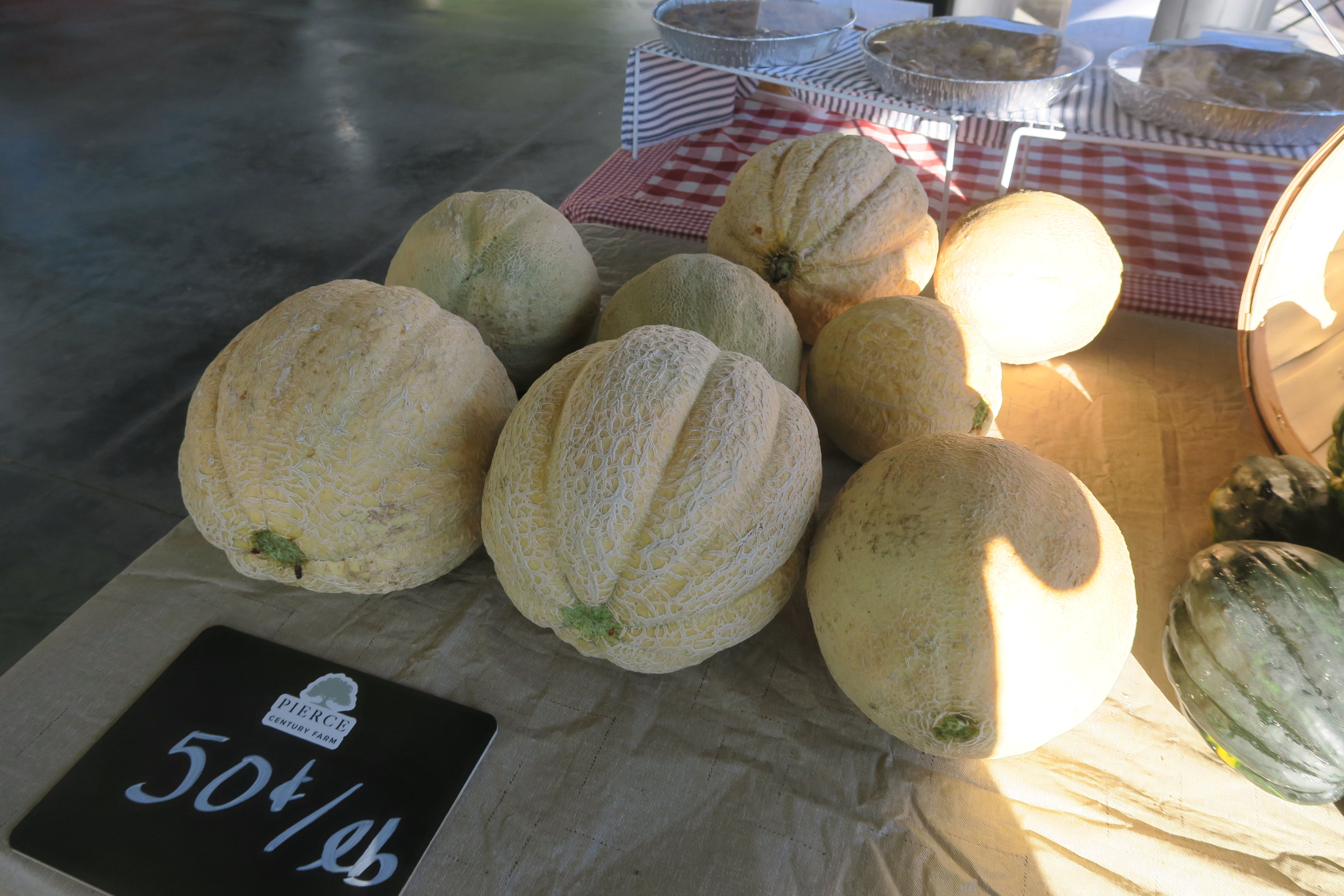
An active seasonal community market featuring local growers, makers, food, and small businesses. Dates and vendor participation should be checked against the current season’s schedule.

De Soto Railroad Employees Memorial
De Soto

De Soto Railroad Employees Memorial

A local heritage site recognizing the railroad workers and operations that shaped De Soto, with interpretive elements tied to the city’s long rail history.

Local services and institutions

Who serves De Soto

MUNICIPAL GOVERNMENT

City of De Soto Municipal Center

  • 17 Boyd Street · 636-586-3326
  • City administration, municipal court, building and occupancy information, and municipal water and sewer billing
PUBLIC SCHOOLS

De Soto 73 School District

  • District office: 636-586-1000
  • De Soto High School, De Soto Junior High, Athena Elementary, and Vineland Elementary
  • Confirm attendance assignment and current programs directly with the district
POLICE, FIRE & EMS

City and rural emergency services

  • De Soto Police Department dispatch: 636-586-8891
  • De Soto Fire Department inside the city and De Soto Rural Fire Protection District in portions of the surrounding area
  • Valle Ambulance District: 636-586-2112
  • Jefferson County Sheriff's Office serves unincorporated areas
UTILITIES

City and rural service patterns

  • Ameren Missouri · electric
  • Spire in served areas or private propane
  • City of De Soto water and sewer inside the municipal system
  • Private wells and on-site wastewater are common outside city service areas
  • Trash and recycling arrangements should be confirmed by address
LIBRARY & CIVIC

De Soto community resources

  • De Soto Public Library · 712 South Main Street
  • De Soto Post Office · ZIP Code 63020
  • Municipal parks, schools, civic organizations, and seasonal downtown events
TRANSPORTATION

Regional routes and active rail corridor

  • Missouri Route 21 connects north toward Hillsboro and the St. Louis metro
  • Route 110 connects east toward Festus and I-55
  • Active Union Pacific rail crossings affect travel through the city core

School attendance, emergency-response district, utility territory, and jurisdiction may vary within a mailing area. Confirm the organizations serving a specific property by address.

Buyer due diligence

Four De Soto details worth resolving before closing

Municipal occupancy requirements

De Soto is incorporated and maintains residential occupancy or inspection requirements associated with property transfers and changes in occupancy.

What to do: Confirm the current application, inspection scope, fee, repair responsibility, and reinspection timeline with the city early in the contract period.

Joachim Creek and flood exposure

Joachim Creek crosses the city, and low-elevation streets or tributary drainage areas may be affected by mapped flood hazards and rapid stormwater runoff.

What to do: Review FEMA mapping, available elevation records, drainage patterns, insurance requirements, and the property’s water history.

Older plumbing and sewer laterals

Older homes may retain cast-iron interior drains, clay sewer laterals, galvanized water lines, or partial updates with hidden condition risks.

What to do: Use appropriate plumbing and sewer-camera inspections and confirm any current municipal repair or assistance program directly.

City limits versus the rural mailing area

A De Soto 63020 mailing address may be located well outside the incorporated city in unincorporated Jefferson County.

What to do: Use parcel and GIS records to confirm jurisdiction, taxes, police, fire, ambulance, roads, school assignment, water, and wastewater service.

Related communities

Compare other places in Jefferson County

Common questions

De Soto questions buyers commonly ask

Is every De Soto mailing address inside the same jurisdiction?

Not necessarily. Postal names can extend beyond city limits, so city and county responsibilities may differ by parcel.

How long is the drive to downtown St. Louis?

Use roughly 50–60 minutes as a general orientation. The exact starting point, destination, traffic, and local-road portion determine the actual trip.

Which school district serves the area?

De Soto 73. Attendance boundaries can split a mailing area, so the property address controls the assignment.

What housing is common?

Older in-town homes, conventional streets, larger lots, rural homes, acreage, wells, septic, and outbuildings.

What local tradeoffs matter most?

The incorporated city and postal area are not the same Regional travel is car-dependent and private-property systems are common outside town
References
U.S. Census Bureau data for De Soto, MissouriCity of De Soto, MissouriDe Soto 73 School DistrictFEMA National Flood Hazard LayerJefferson County governmentU.S. Census BureauRegional visitor and local-business directoryMissouri DESE directoryFCC National Broadband Map
Talk to Kyle

Thinking about making a move?

Start with the question you have today. No pressure and no generic sales pitch.

Prefer to talk now?