Communities, housing, access, services, institutions, recreation, and the address-level details that shape a move.
01 / 07
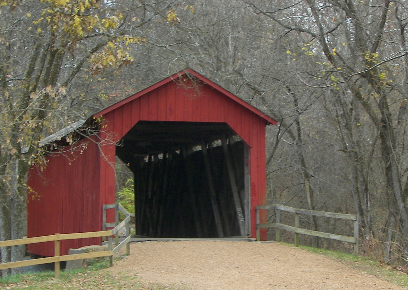
Sandy Creek Covered Bridge near Hillsboro
Kyle’s Local Take
I was born and raised in Jefferson County. When buyers tell me they want to look in JeffCo, the very first thing we have to do is define what daily life looks like for them. Up north in Arnold or Imperial, you’re often looking at suburban neighborhoods, public utilities, and a run up I-55 into South County. Head out along Highway 30 or down Route 21, and the property questions can change: private wells, on-site septic, steep terrain, and road maintenance agreements become important on many rural properties. Jefferson County can offer elbow room and a property-tax advantage over St. Louis County—the county-level comparison below shows why—but an address alone doesn’t tell you the story: you have to look at the land, the slope, and the infrastructure.
County at a glance
A quick orientation to Jefferson County
2025 POPULATION ESTIMATE233,132
MEDIAN HOUSEHOLD INCOME$82,851
MEDIAN OWNER-OCCUPIED VALUE$237,200
GENERAL TRAVEL TO ST. LOUISAbout 25–65 minutes by car from major county communities
COUNTY SEATHillsboro
LAND AREA656.45 square miles
Explore by region
Four regional corridors
Suburban connections, wooded acreage, small-city centers, and river landscapes share one county. Four travel corridors offer a practical way to compare them.
The county’s principal suburban and commercial spine: established subdivisions, newer residential pockets, townhomes, and the Festus–Crystal City service center. Public water and sewer are common, but service territories do not simply follow mailing names.
Getting around
I-55 connects these communities north toward St. Louis. Local interchange access and the Meramec River crossing shape the trip; homes farther south add more highway miles.
Commercial corridors and subdivisions around High Ridge transition toward wooded lots, rural homes, acreage, and Big River landscapes. The house, terrain, and access road become increasingly important parts of the comparison.
Getting around
Route 30 connects toward the Fenton area and Sunset Hills. It is not an uninterrupted expressway: signals, intersections, and local connector roads influence travel.
Hillsboro combines county government, Jefferson College, and in-town housing with subdivisions and surrounding acreage. Old Highway 21 and local roads serve properties with different lot sizes, terrain, and utility arrangements.
Getting around
Route 21 provides the northbound connection toward Tesson Ferry and I-270. Expressway sections in Jefferson County transition to surface-road travel in St. Louis County.
De Soto’s railroad history and older town housing sit alongside timberland, recreational parcels, rural homes, and farms toward St. Francois County. Valles Mines is a cross-county area, not a single incorporated city.
Getting around
Route 110 links the De Soto area toward U.S. 67. Regional trips usually involve both local-road and highway miles, so the southern county is a different travel proposition from Arnold or Imperial.
Things to do
One outdoor destination—and more ways to spend a day
Northwestern Jefferson County
Don Robinson State Park
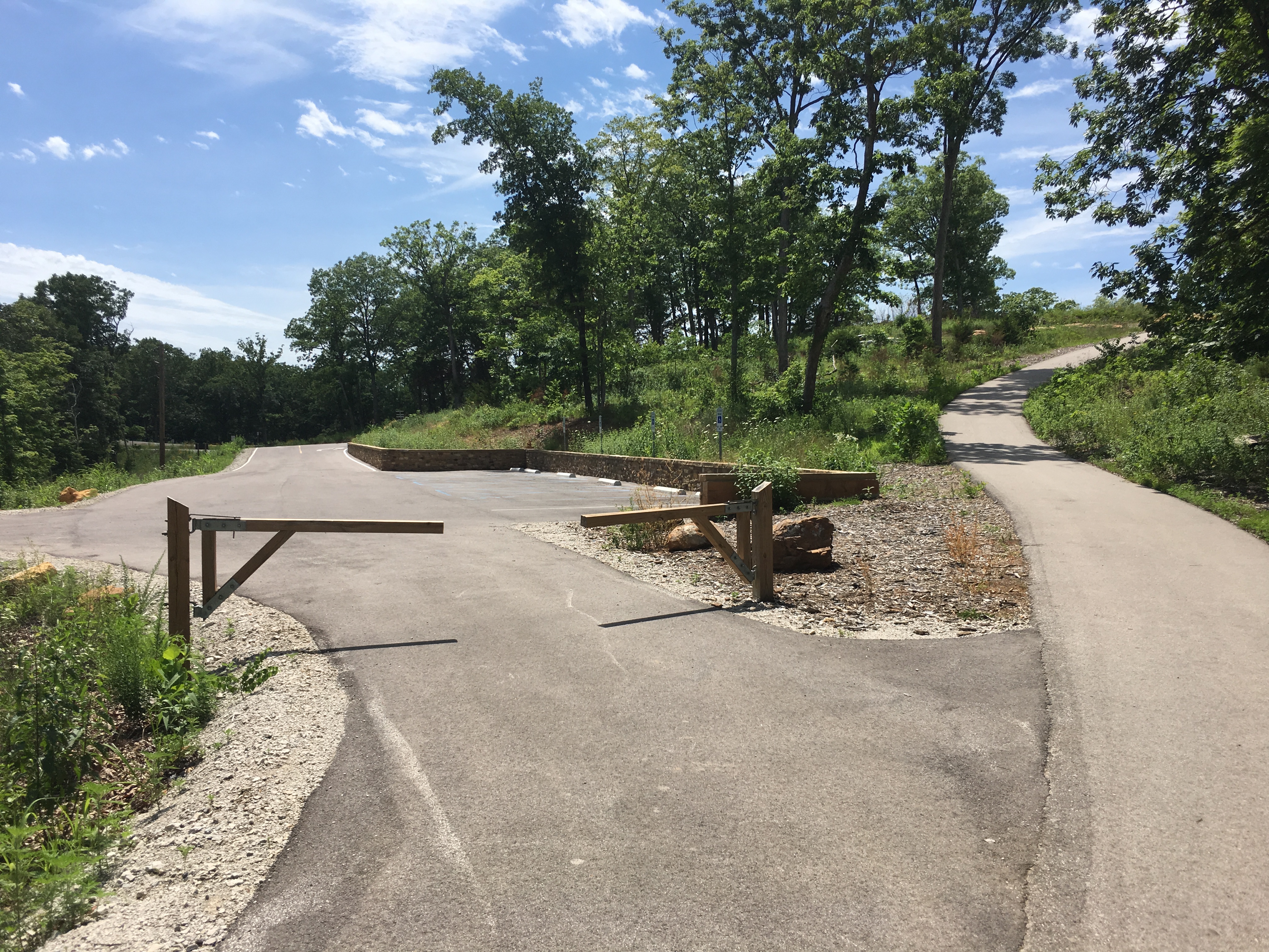
Sandstone Canyon Trail explores wooded ridges, box canyons, and the LaBarque Creek watershed at one of the county’s strongest hiking destinations.
Fenton · Highway 141
WOW! Fun & Games
This new family entertainment complex combines outdoor miniature golf, duckpin bowling, virtual reality, sports simulators, curling, karaoke, a full-service kitchen, and event spaces.
Kimmswick
Historic Kimmswick
A compact Mississippi River town with preserved buildings, independent shops and restaurants, the Anheuser Estate Museum, and major seasonal events including the Apple Butter Festival.
Homes, land & ownership
Four details that can change the property
Usable ground versus total acreage
Rolling hills, river valleys, slopes, and rock can make two equally sized parcels very different. A five-acre deed does not promise five acres suitable for a house, pasture, pool, or workshop.
A site plan should account for access, grading, drainage, septic area, setbacks, and excavation before assigning value to a proposed improvement.
Private wells and septic
Rural properties may use a private well, an on-site wastewater system, or a combination of public and private services. Being outside a city does not automatically mean both systems are private.
For a private-system property, include water quality and yield testing and a qualified wastewater inspection, with records of system location, capacity, maintenance, and repairs.
Private road maintenance
A road serving a home may be privately maintained even when it resembles a subdivision street. Maintenance costs and legal access are separate parts of ownership.
Title documents and recorded agreements should establish access and maintenance obligations. Financing requirements vary by lender and loan program.
Building outside city limits
Unincorporated does not mean unregulated. Jefferson County administers building and land-use requirements outside municipal jurisdictions; cities may administer their own requirements.
The county building application addresses water, sewage disposal, and special flood-hazard areas. Additions, shops, and other planned work need the applicable approval before construction.
Property-tax comparison
Compare county property-tax rates
Select any two counties in Kyle’s service region. The effective rate shows median annual real-estate taxes as a percentage of median owner-occupied home value, giving every county a consistent comparison.
Effective property-tax rate
Jefferson County0.80%St. Louis County1.20%
Median annual real-estate taxes paid
Jefferson County$1,906St. Louis County$3,335
Illustrative tax at a $300,000 home value
Jefferson County$2,411St. Louis County$3,614
Based on U.S. Census Bureau 2020–2024 American Community Survey tables B25103 and B25077. These are countywide effective-rate benchmarks—not a parcel’s legal levy. A property’s actual bill depends on assessed value and the school, fire, ambulance, library, municipality, and other taxing districts serving its address. The $300,000 figures apply the countywide benchmark for comparison only.
Jefferson College technical and workforce programs
Hospitals & healthcare
Mercy Hospital Jefferson in Festus
Mercy, SSM Health and other clinics and urgent-care locations throughout the county
Law enforcement
Jefferson County Sheriff’s Office
Arnold, Byrnes Mill, Crystal City, De Soto, Festus, Herculaneum, Hillsboro, Pevely and other municipal police departments
Fire & ambulance services
Rock Township, Joachim-Plattin, Big River, North Jefferson County, Meramec and Valle ambulance districts
Municipal fire departments and fire-protection districts including Antonia, Cedar Hill, De Soto Rural, Dunklin, Goldman, High Ridge, Hillsboro, Jefferson R-7, Mapaville, Rock Community and others
Utilities & infrastructure
Ameren Missouri and local electric cooperatives
Spire Missouri and propane suppliers
Municipal water/sewer systems and Jefferson County public water supply districts
Private wells and on-site wastewater systems in many rural areas
Institutions & employment anchors
Jefferson County government in Hillsboro
Jefferson College campuses in Hillsboro and Arnold
Mercy Hospital Jefferson and regional healthcare
Public school districts, municipal governments, fire and ambulance districts
Parks, recreation & culture
Mastodon State Historic Site
Don Robinson State Park
Sandy Creek Covered Bridge State Historic Site
Jefferson County and municipal park systems
Big River and Mississippi River access
LaBarque Creek and conservation landscapes
Organizations operate across different service territories; a mailing address does not establish school attendance or utility coverage.
Community guides
Compare places in Jefferson County
Explore cities, established communities, and rural or residential areas with distinct housing, access, service, and lifestyle considerations.